NWS Identifies Friday’s Storm
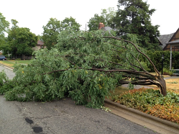
NATIONAL WEATHER SERVICE – On Friday afternoon, an intense, long-lived windstorm called a derecho formed in northwest Indiana and began carving a path of destruction over 600 miles long. Winds approaching 100 miles per hour were reported during the most intense part of the event (between Fort Wayne, Ind., and Columbus, Ohio).

According to the Storm Prediction Center, “A derecho (pronounced similar to “deh-REY-cho” in English) is a widespread, long-lived wind storm that is associated with a band of rapidly moving showers or thunderstorms. Although a derecho can produce destruction similar to that of tornadoes, the damage typically is directed in one direction along a relatively straight swath. As a result, the term “straight-line wind damage” sometimes is used to describe derecho damage. By definition, if the wind damage swath extends more than 240 miles (about 400 kilometers) and includes wind gusts of at least 58 mph (93 km/h) or greater along most of its length, then the event may be classified as a derecho.”
By early afternoon on Friday, a stationary cold front was draped across the southern Great Lakes. The storm continued to intensify as it moved through the Fort Wayne metro area, with widespread winds of 80 mph to 90 mph.